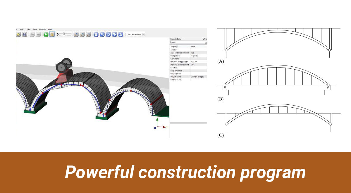
Powerful construction program
TweetThe software is provided with Topcon unmanned aircraft systems (UAS).
This software package will be very useful for mapping, construction and surveying professionals to instantly convert easy photographs and/or point cloud data into detailed 3D models which can be applied during the progression of a project.
It includes ContextCapture Editor to allow operators to amalgamate reality meshes and point clouds into infrastructure workflows. The ContextCapture Advanced is combined with CAD, inspection, GIS, civil engineering, and survey workflows on desktop and mobile devices, in various formats to allow superior capacity and productivity in worldwide construction sector.
Surveying professionals will be capable of instantly converting UAS imagery into engineering based 3D reality models which can be applied right away and updated during the construction course to facilitate superior project outcome.
Following exclusive features :-
- Combine Models into any Workflow
- Incorporate Georeferenced Data
- Aerotriangulation/Reconstruction
- Create 2D and 3D Models
- Publish and View Web Ready Models
Click on the following link
https://www.topconpositioning.com/software-solutions/mass-data-mapping/contextcapture

